Why Crail is a walker’s paradise
The Fife Coastal Path passes right through the village. It runs for about 117 miles in total, so day sections are easy to pick off from your door. Waymarking is clear, and the mix flips between beaches, rock platforms and old harbours.
Roome Bay sits just south of the village. It’s a small, south-facing beach with rock pools, a grassy bank, and a little paddling pool reclaimed by nature. Families love it. It’s roughly a ten-minute walk from the centre.
Getting around is simple. The 95 bus links the East Neuk villages with St Andrews and Leven, so one-way walks are no fuss. If you’re driving, Nethergate Car Park is the council car park in Crail. It’s small, free, and handy for the centre.
Crail to Anstruther coastal walk
A favourite. Head west from Crail on the coastal path and you’ll track grassy shoreline towards Caiplie Caves, then on to Cellardyke and Anstruther. In reverse, Anstruther to Crail is 6.75 km and takes around 1.5 to 2 hours. Expect straightforward paths with the odd muddy patch after rain.
Difficulty and route length
Classed as easy, with 52m of ascent and a clear line along the shore. Most people allow two hours one way. If you’re stopping at Caiplie Caves for photos, add some time on top of that.
Best photo spots
Stop at Caiplie Caves for those rust-red sandstone layers and cave mouths. Late light looks great on the rock. The approach to Crail frames the harbour and pantiled cottages for a classic shot.
Transport and parking info
Use the 95 bus for the return leg. In Crail, start from Marketgate or the harbour and pick up the waymarked path towards Roome Bay. If you need parking, try Nethergate Car Park and walk down through the village.
Crail to Kingsbarns coastal path
East to west this time. The official stage from Crail to Kingsbarns is 9.5 km and takes about 3 to 3.5 hours. The trail rolls past Kilminning, skirts Fife Ness, and runs by the edge of Crail Golfing Society before easing into Kingsbarns. Surfaces vary from grass to rough shore, so sturdy shoes help.
Difficulty and route length
It’s moderate only for the distance. Elevation is low, but you’ll cross uneven rock in places. Keep an eye on wet patches after sea spray. The section itself has no tidal pinch points, but if you extend onward from Kingsbarns towards St Andrews there is a short tidal section near Buddo Rock. Plan that stretch to avoid high tide.
Best photo spots
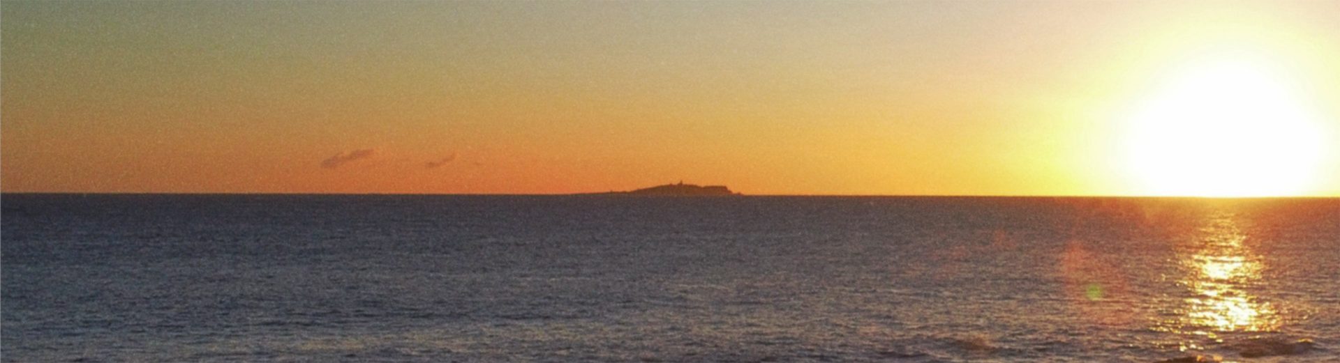
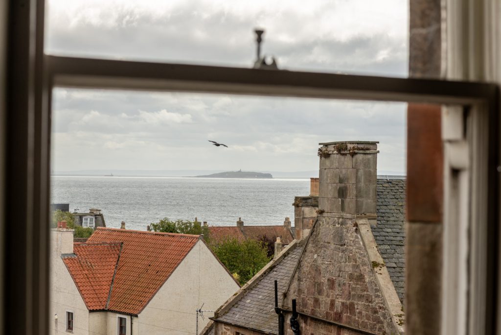
Fife Ness lighthouse sits above a ragged shore with wide sea horizons. On clear days, you’ll spot the Isle of May offshore. The run of beaches around Kingsbarns is wild and open, perfect for big-sky frames.
Transport and parking info
Buses serve both ends of the stage. Start in Crail and ride back from Kingsbarns, or reverse it if the wind is up. If you drive, leave the car in Crail and keep the return simple with the 95.
The Beach House Walk
Think of this as an easy village amble that joins Crail’s green lanes and shore. From the centre, wander down to Roome Bay for rock pools and a breather, then continue on the coastal path towards the harbour before looping back via the wynds. It’s relaxed and suits all ages. Roome Bay sits about ten minutes from the middle of the village, with a grassy bank and a rewilded paddling pool behind the beach.
Difficulty and route length
Pick a loop from 30 to 60 minutes. Paths are a mix of pavement and compacted earth beside the shore. Low tide gives more sand to explore; high tide pushes you onto the main path.
Beech Walk Park and circular routes in Crail
Beech Walk Park is a small public park and cut-through near St Andrews Road and Bow Butts. It links neatly with pavements to Roome Bay, so you can stitch a short green loop without leaving the village. The park entrance sits at the corner of Beech Walk and St Andrews Road.
For something bigger, try a Crail and Fife Ness circuit. One version runs about 10 miles via the coastal path to Fife Ness, then back inland on tracks by Wormiston Farm. A shorter club-led option comes in around 9.7 km and loops the same headland. Both give seal and seabird spotting and sweeping views across the Firth of Forth.
Difficulty and route length
Choose the short loop for a half-day, or the longer circuit for a full morning with photo stops. Terrain flips between shore path and farm tracks. In wet spells, expect mud at field edges and underfoot on the foreshore.
Multi-day coastal adventures with Crail as a base
Many walkers link village stages over a long weekend. A popular 50 km stretch runs from Lower Largo to St Andrews, passing Elie, St Monans, Pittenweem, Anstruther, Crail and Kingsbarns. You can break it across three or four days and use the bus to hop between starts and finishes.
If you want a single big day, St Monans to Crail is roughly 12 km, well signed and full of landmarks, from the restored windmill and salt pans to Caiplie Caves. Add the short Elie to St Monans link at the start and you’ll have a fine point-to-point with cafés at each stop. Buses connect all these villages for easy travel.
FAQs
How long is the Crail to Anstruther walk?
About 6.75 km one way, usually 1.5 to 2 hours at an easy pace. Most of the route follows a simple coastal path.
Is the Crail to Kingsbarns section suitable for beginners?
Yes, if you’re comfortable with 9.5 km and some uneven ground. Plan for 3 to 3.5 hours and wear sturdy shoes.
Where does the Beach House Walk start?
It’s an informal village loop rather than a signed route. Start from the centre or Roome Bay and link pavements with the shore path to the harbour, then return through the wynds. Roome Bay lies about ten minutes from the middle of Crail.
Is Beech Walk dog friendly?
Beech Walk is a small public park and path link. Dogs are commonly on leads. The entrance is at St Andrews Road and Beech Walk, a handy start for a short green loop to Roome Bay. Always follow local signs.
Can you do Elie to Crail in a day?
Yes. Link Elie to St Monans, then St Monans to Anstruther, and on to Crail. The middle and final stages total about 12 km; adding the Elie link makes it a solid full day with time for breaks. Regular buses make the logistics easy.
Plan your Trip
Make it seamless. Book a self-catering base in the East Neuk with Short Stay St Andrews so you can walk from your door, ride the 95 bus back, and end the day with dinner in the village. Browse our pages Things to Do in Crail and Places to Eat in Crail to round off your plans.