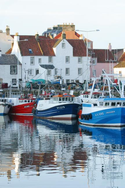
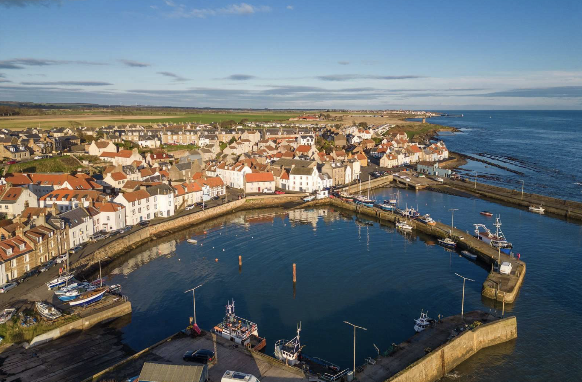
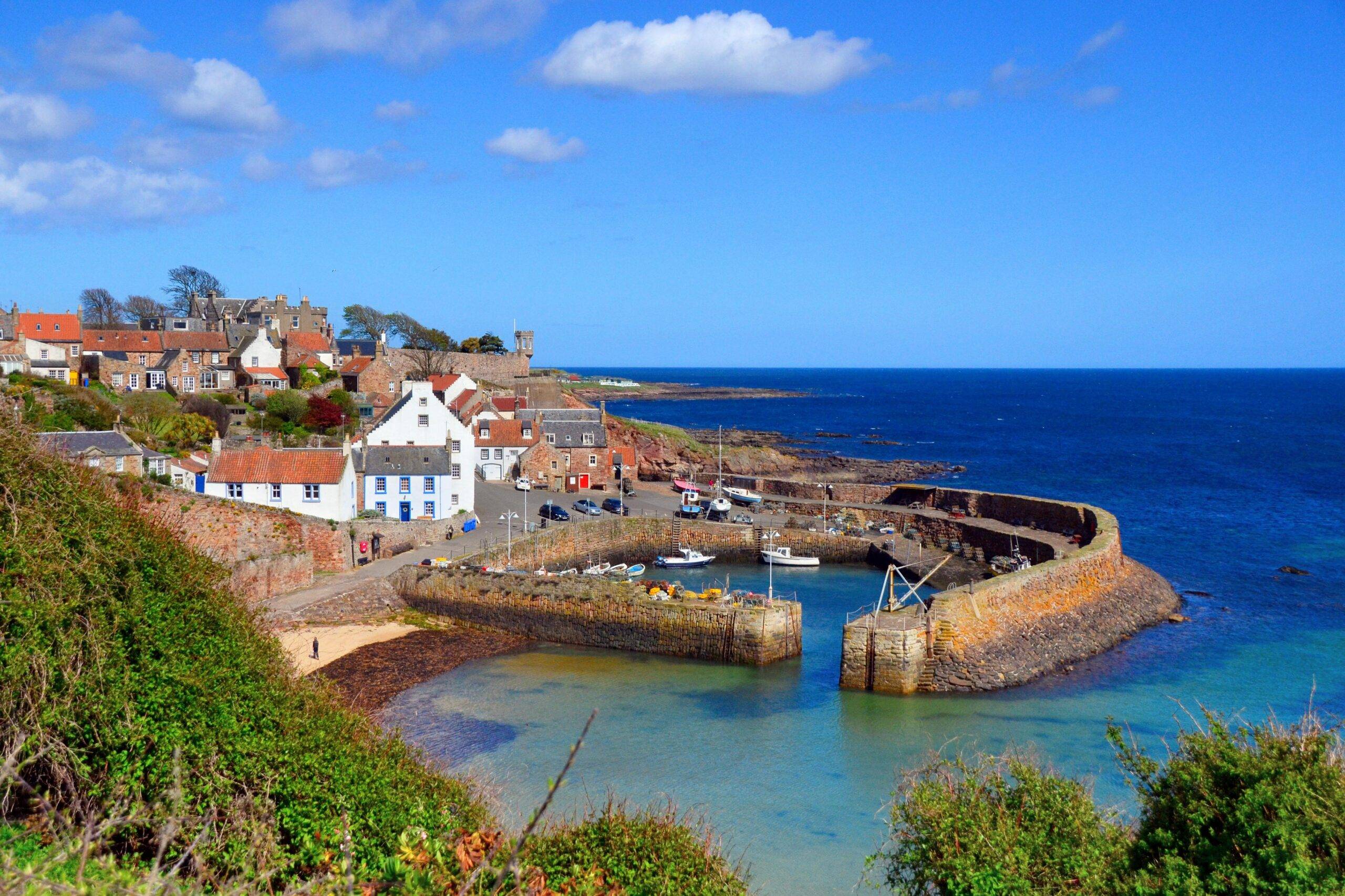
About St Monans Beach
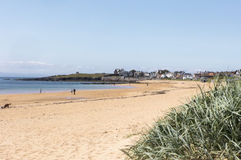
The shoreline here is a mix of rocky platforms with patches of sand that appear around low tide. It’s quiet, good for sea views and photos, and framed by two of the East Neuk’s best heritage sights: the windmill and old salt pans to the east, and the fourteenth-century kirk to the west. Expect seabirds, creels on the pier, and a working village feel rather than a resort strip.
If you want a simple plan, time your visit for a falling tide. More of the rock platform opens up, rock pools show, and you can sit on the grassy banks above the water with a wide view back to the harbour.
How to Access the Beach
You reach the water straight from the village. Paths drop from the harbour and from the kirk side; short sets of steps lead to the shore at low tide. If you’re driving, the easiest base is The Common car park off Hope Place. It’s a free, council-run surface car park in the centre of St Monans with around 20 spaces. From there you can be on the waterfront in a couple of minutes.
When you’re ready to refuel, the East Pier Smokehouse sits right on the water with seasonal opening hours for lunch and dinner. It’s ideal after a harbour stroll or before you join the path to Pittenweem or Elie. Check the current hours before you set off.
Parking information
Use The Common if you’re spending time in the village, or start from the small car park behind the Old Kirk when you’re heading east on the Coastal Path. Both keep you close to waymarkers and benches. For point-to-point days, ride the 95 bus back to your start.
Best time for photography
Early and late light strike the kirk and the windmill headland beautifully. On calm days you’ll catch pier reflections inside the basin; after rain, the red sandstone east towards Cellardyke glows at sunset. Keep an eye on the tide so you can frame shots from the rock shelves when they’re exposed.
Walking Routes Linking St Monans Beach
You can make a day of it without a car shuffle. The Fife Coastal Path passes through the village and is clearly signed, with a total length of about 117 miles from Kincardine to Newburgh. From St Monans, the distances are friendly and the terrain is straightforward.
East to Anstruther is the classic village-to-village amble. Plan on roughly 5.75 km (3.5 miles) one way and about 1 hour, with benches and cafés at each end. You’ll pass the windmill and grassed-over salt pans before the path threads into Cellardyke and the Anstruther waterfront.
Towards Pittenweem is shorter again – about 1.9 km in roughly 40 minutes at a relaxed pace – so it’s perfect if you want an easy hour with harbour views. Paths are a mix of pavements and firm shore.
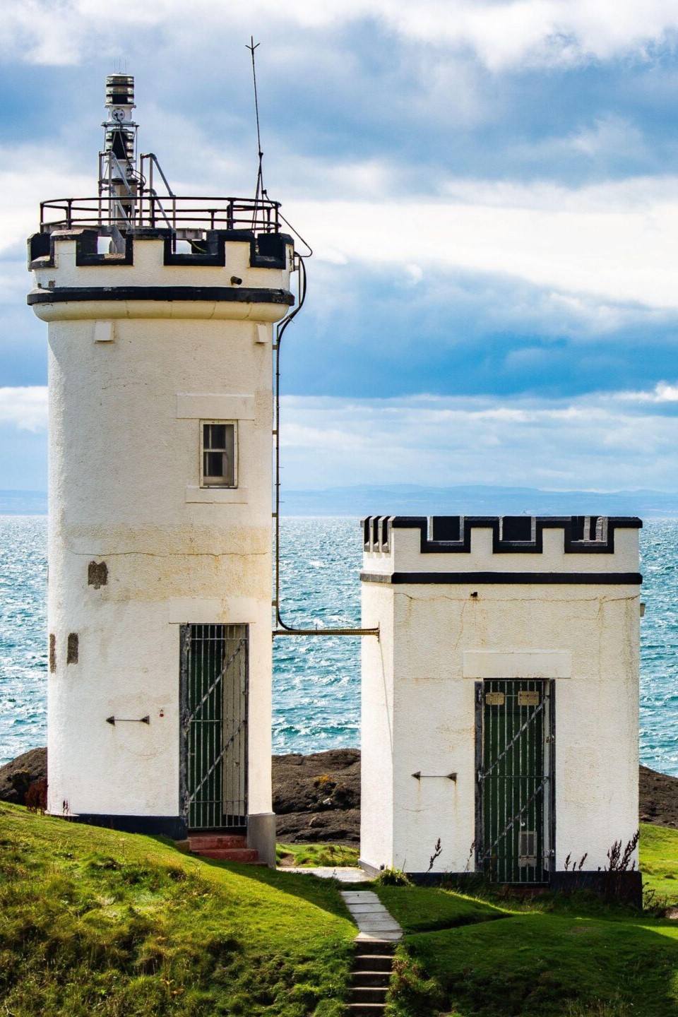
To the west lies Elie. Note that the official route has temporary changes due to coastal erosion. Current guidance sends walkers along short signed sections beside the A917 between Elie and St Monans. You still get wide sea views, and you can drop back to the shore nearer Elie Ness Lighthouse for photos when conditions suit.
Coastal path connections
If you’ve energy for more than one stage, many visitors link St Monans on to Pittenweem, Anstruther and then Crail as a longer day of around 12 km. It’s well signed, easy to shorten at village points, and buses connect the chain back to base.
Nearby Beaches Worth Visiting
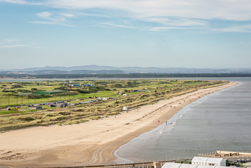
For broad sand and lifeguards in summer, Elie Harbour Beach is five minutes by bus or a gentle coastal walk away. It holds Scotland’s Beach Award, with seasonal RNLI cover and accessible facilities by the promenade. Families love the shallow shelf and beach-hut atmosphere.
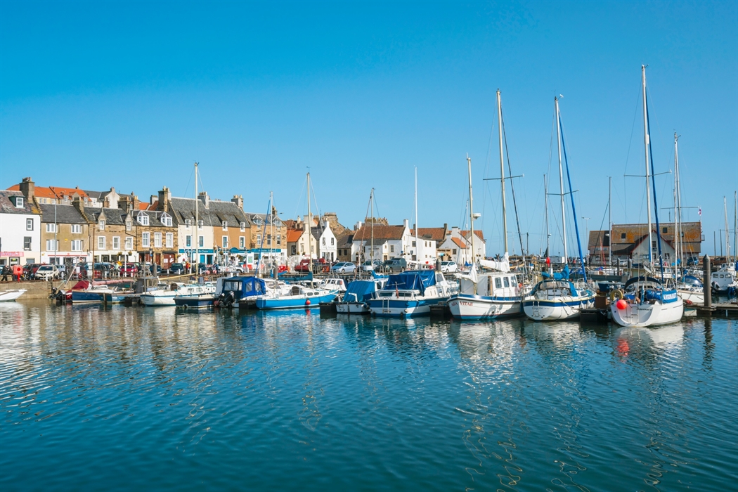
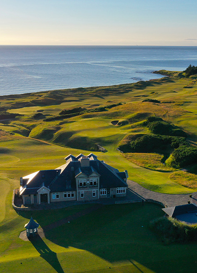
For a quieter crescent, Anstruther Beach sits west of the harbour beside the golf links. It’s a handy add-on to the St Monans – Anstruther walk.
If you want wild and open, head a little further to Kingsbarns (Cambo Sands). It’s a two-mile strand with big skies and an easy link to Cambo Gardens for coffee.
Facilities & Visitor Tips
St Monans’ shore is not a patrolled bathing beach. Save longer swims for lifeguarded strands such as Elie Harbour in peak season, and keep any dips here to calm days and sheltered coves. Always check the state of the tide before stepping onto the rock platforms.
Footwear matters. The mix of sandstone and seaweed can be slick after rain. If paths are busy, stay single file on narrow sections and keep dogs close around wildlife and working harbours. When the swell is up, enjoy the view from above and explore the wynds instead.
Buses make logistics easy. The 95 bus links the East Neuk villages all day, so you can start in St Monans, walk one way for lunch, and ride back without moving the car. If you’re driving to bigger bays nearby, use managed car parks at Kingsbarns and follow on-site signs.
FAQs
Is there a beach at St Monans?
Yes, but think small coves and rock shelves rather than a long sandy strand. Low tide reveals pockets of sand below the kirk and along the shore towards the windmill and salt pans.
Can you swim at St Monans Beach?
Only in settled conditions and at your own risk. There are no lifeguards here. For supervised bathing in season, head to Elie Harbour Beach nearby.
Are dogs allowed on St Monans Beach?
Dogs are common on the shore and coastal path. Keep them close on narrow sections and near wildlife, and follow local signs in village centres.
What beaches are near St Monans?
Elie Harbour for a broad, family-friendly bay; Anstruther Beach for a quieter crescent with rock pools; Kingsbarns/Cambo Sands for a wild, two-mile strand with managed facilities.
Is St Monans Beach part of the Fife Coastal Path?
Yes. The path runs through the village, with well-signed sections east to Anstruther and west to Pittenweem, and current signage for a short inland diversion towards Elie due to erosion.
Plan your Trip
Pair a low-tide wander below the kirk with lunch on the pier, then walk to Pittenweem or Anstruther and bus back. When you’re lining up more ideas, see our pages Things to Do in St Monans and Places to Eat in St Monans, then look for local accommodation so the coast, cafés and your base all sit within a short stroll.